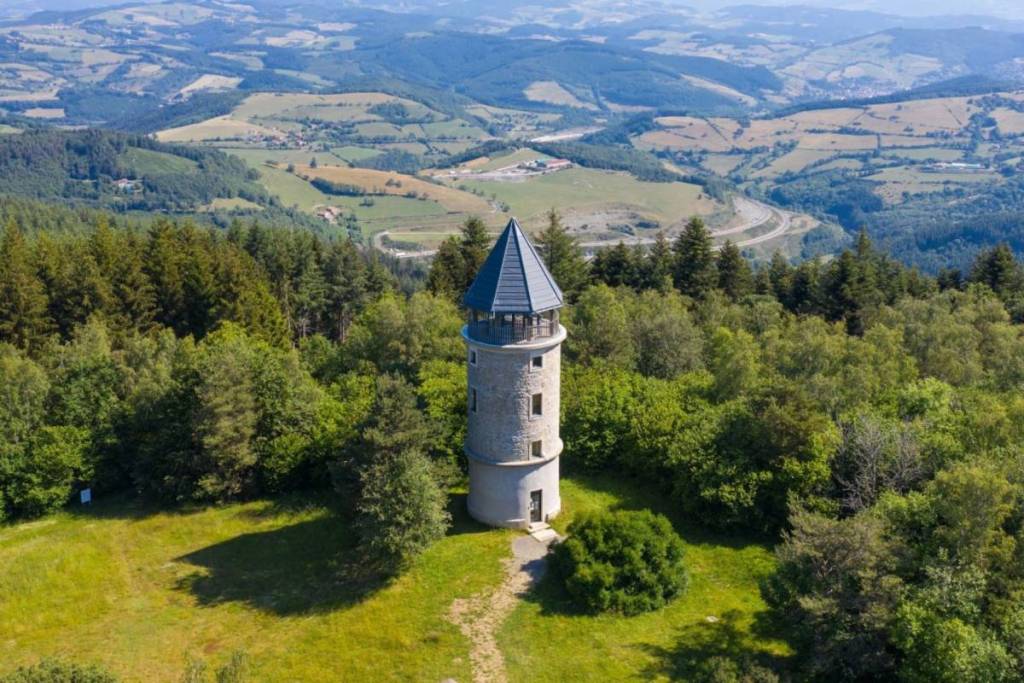

We’d rather tell you right away: if you’re a stickler for numbers, you might be a bit put off. Because the mountain in question rises to exactly 999 meters…Fortunately, things are well thought out: a tower awaits you at the top, allowing you to easily cross the 1,000-meter mark and discover a one-of-a-kind panorama. Led Zeppelin sang “Stairway to Heaven” —and that’s exactly what it’s like. So set your smartwatch to altimeter mode, pull out your map of France, and head out to conquer Mont Boussuivre!
Mont Boussuivre and its Matagrin Tower
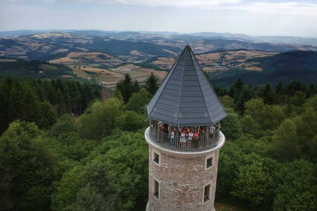
Its name combines the first letters of the word “compass” and the last letters of the word “follow”— a place name that’s decidedly apt. From up there, come enjoy one of the most beautiful panoramic views of the Lyon area. A 360° view lets you admire everything from the snow-capped peaks of Mont Blanc to the vineyards of Beaujolais and the lush green plains of the Roannais region. We’ve heard that, on a clear day, you can see no fewer than 14 departments in all directions. Even better than an all-you-can-eat buffet! This beautiful hill naturally brings to mind Mont Saint-Rigaud (also 1,000 meters above sea level), the highest point in the Rhône region, which is also located an hour from Lyon and offers the chance to cap off your climb with a visit to an observation tower overlooking a heavenly panorama.
To get there, head to Violay in the Loire region to begin your ascent. The village is your starting point for a short but pleasant walk through the forest’s deciduous and coniferous trees. In just half an hour, you’ll already be at the top of the mountain. One final effort: climb the 65 steps of the spiral tower to reach the Holy Grail—1,000 meters above sea level and a panoramic view of a large part of France.
A panorama long familiar to surveyors
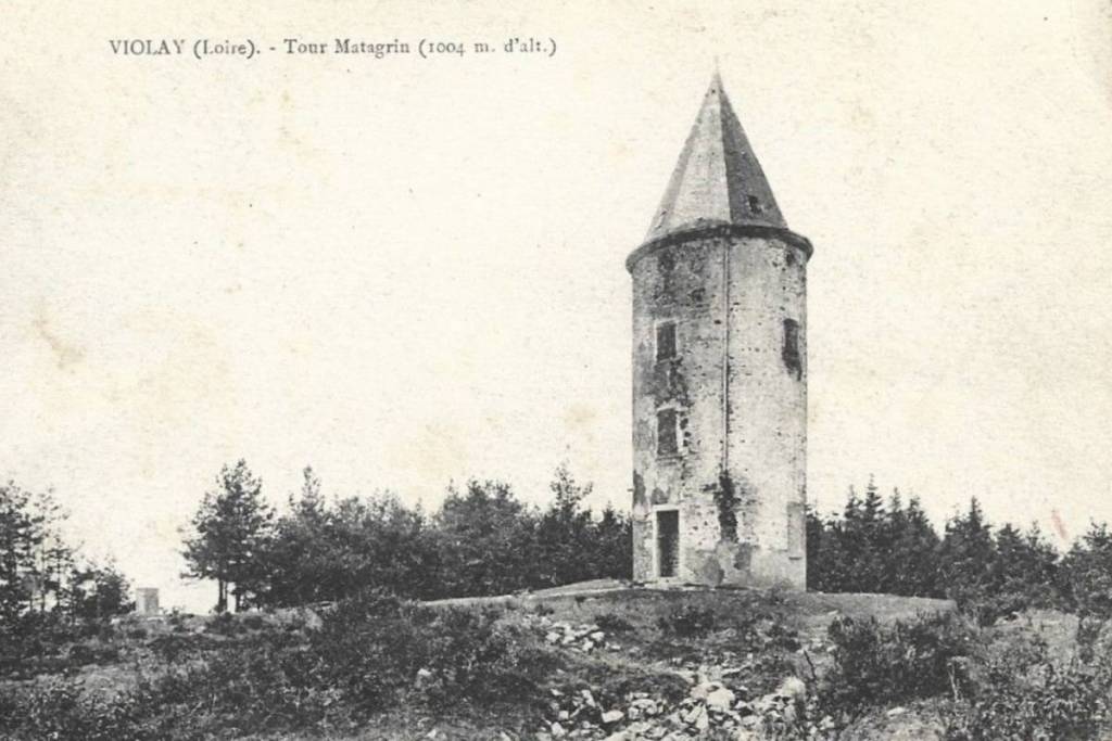
Built in 1876, the Matagrin Tower is celebrating its 150th anniversary this year. It was originally built as a hunting lodge, but we’ve learned that the site—highly strategic due to its elevation in the region—has long been used as a triangulation point.
Before the invention of Google Maps and GPS in general, surveyors used the method of triangulation to measure and map our territories. How does it work? They’d choose a high, unobstructed point to form a network of imaginary triangles passing through that point. By measuring the distance of a single side of the triangle—and through the magic of mathematics—the job was done. A 19th-century survey marker is visible on the side of the tower, inscribed with “Point trigo, Emperor Napoleon, Nov. 1812.” A piece of history, indeed.